The
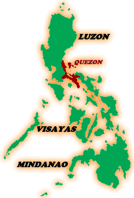
Polilio Island is located East of Metro Manila and about 29
kilometers off the Eastern Coast of the Island of Luzon. Facing
the Pacific Ocean, 25 kilometers East of Luzon, bounded by the
municipality of Panukulan in the North, and the municipality
of Burdeos in the east. Lamon Bay bounds it at the South, East
and West.
It is 24 kilometers west of the municipality of Infanta and
27 kilometers northern west of the municipality of Real, Quezon.
It can be reached by motorboats three hours via Real-Polillo
in the Ungos Port and a little bit shorter via Infanta-Polillo.
Or if you want a pretty long drive from Manila, about four or
five hours thru land, and you have to pass through Laguna and
ride a ferry boat.